0
Skip to Content
Meet Schedule
Championships
IAC/ISL/MAC MS Championships
MS State Championships
HS State Championships
General Info
Course Maps
Certificates of Insurance
FAQs
Service
Contact
Open Menu
Close Menu
Meet Schedule
Championships
IAC/ISL/MAC MS Championships
MS State Championships
HS State Championships
General Info
Course Maps
Certificates of Insurance
FAQs
Service
Contact
Open Menu
Close Menu
Meet Schedule
Folder:
Championships
Back
IAC/ISL/MAC MS Championships
MS State Championships
HS State Championships
Folder:
General Info
Back
Course Maps
Certificates of Insurance
FAQs
Service
Contact
COURSE MAPS
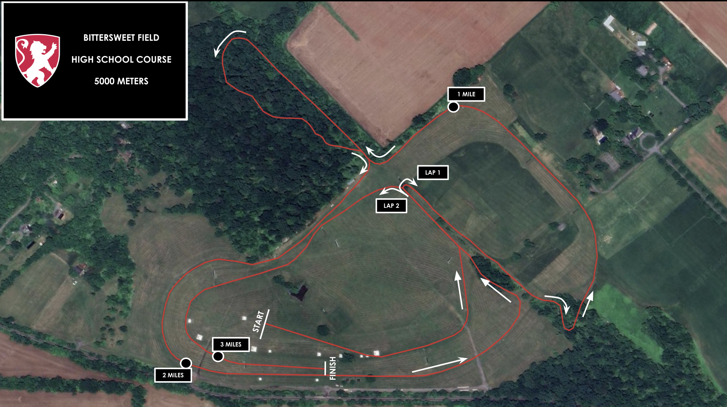
HIGH SCHOOL COURSE- 5000 METERS
MIDDLE SCHOOL COURSE- 3000 METERS